File:Monument Crespel.jpg
Jump to navigation
Jump to search
Size of this preview: 450 × 600 pixels. Other resolutions: 180 × 240 pixels | 360 × 480 pixels | 576 × 768 pixels | 768 × 1,024 pixels | 1,536 × 2,048 pixels | 3,024 × 4,032 pixels.
Original file (3,024 × 4,032 pixels, file size: 11.33 MB, MIME type: image/jpeg)
Summary
| Description |
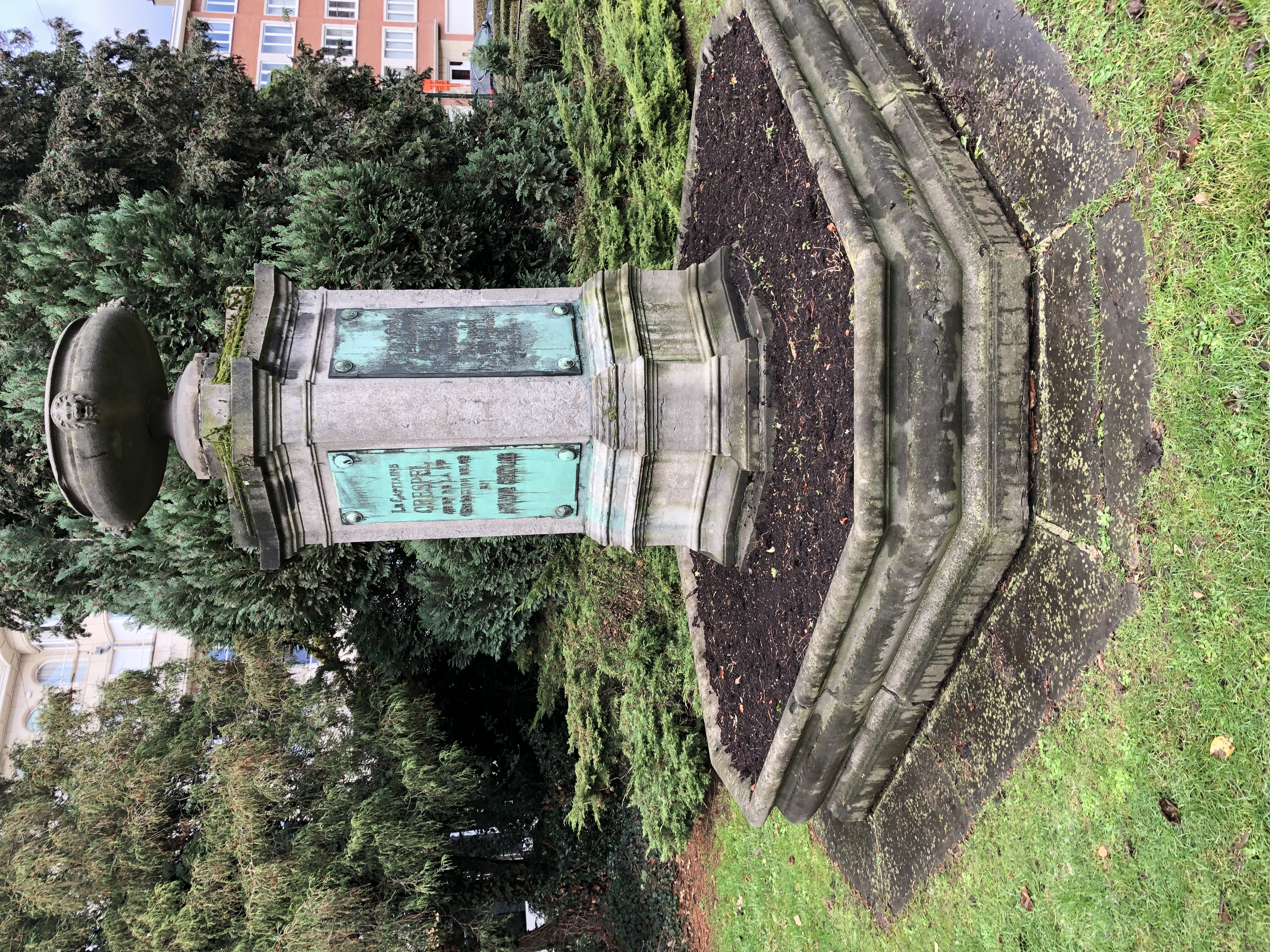
Français : Région de Bruxelles capitale . Ixelles, Monument Crespel„ à proximité de la statue de Louis Napoléon Chaltin au sein du square du Solbosch. Le capitaine Louis Crespel (Tournai, 1838 – Zanzibar, 1878) commanda la première expédition belge en Afrique centrale en 1877. Il meurt en 1878, sans pouvoir mener l'exploration belge au lac Tanganyka ; le lieutenant Cambier prendra la relève. Réf : https://monument.heritage.brussels/fr/Ixelles/Square_du_Solbosch/10502760 |
||
| Date | |||
| Source | Own work | ||
| Author | GdML | ||
| Permission (Reusing this file) |
|

| Object location | | View this and other nearby images on: OpenStreetMap |
|---|
Licensing
I, the copyright holder of this work, hereby publish it under the following license:
This file is licensed under the Creative Commons Attribution-Share Alike 4.0 International license.
- You are free:
- to share – to copy, distribute and transmit the work
- to remix – to adapt the work
- Under the following conditions:
- attribution – You must give appropriate credit, provide a link to the license, and indicate if changes were made. You may do so in any reasonable manner, but not in any way that suggests the licensor endorses you or your use.
- share alike – If you remix, transform, or build upon the material, you must distribute your contributions under the same or compatible license as the original.
File history
Click on a date/time to view the file as it appeared at that time.
| Date/Time | Thumbnail | Dimensions | User | Comment | |
|---|---|---|---|---|---|
| current | 10:40, 19 December 2018 | | 3,024 × 4,032 (11.33 MB) | GdML | User created page with UploadWizard |
File usage
The following 3 pages use this file:
Global file usage
The following other wikis use this file:
- Usage on fr.wikipedia.org
- Usage on hy.wikipedia.org
- Usage on nl.wikipedia.org